Changes to the trail at Salt Bay Preserve
With the same spectacular vistas and access to the shell midden
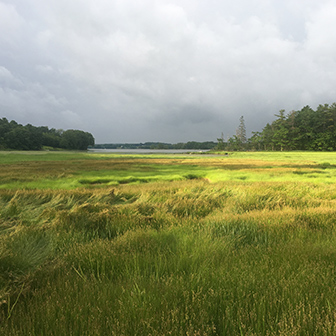
Removing the bridge at Salt Bay Farm was a big job. Photo courtesy of Glenn Kessler
Visitors to Salt Bay Preserve in Newcastle will notice some changes!
First, the aluminum bridge that crossed a marshy inlet right next to Route 1 has been removed. Over the years, winter ice had damaged the footing of the bridge. And with rising sea levels, the bridge was not accessible at high tide. Once we received permission from Maine DOT to reroute the trail alongside Route 1, the bridge was no longer needed. Happily, the bridge itself is in good condition and has been repurposed at Salt Bay Farm.
The second development is that the trail is no longer a loop. Due to changes in landowner permissions, it is now a there-and-back route from the trailhead across from Lincoln County Publishing to the Glidden Shell Middens (see map below).
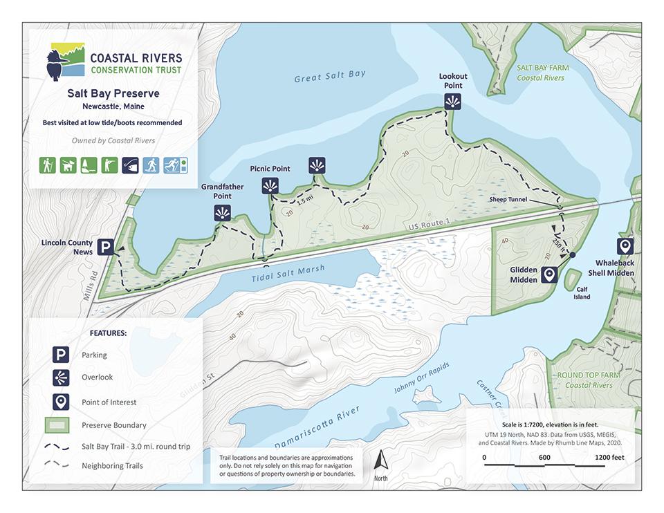
Despite the alterations, Salt Bay Preserve retains all the features that have made it a favorite local trail, with its extensive bog bridges across the salt marsh, spectacular views of Great Salt Bay, and access to one of the largest ancient shell middens on the east coast.
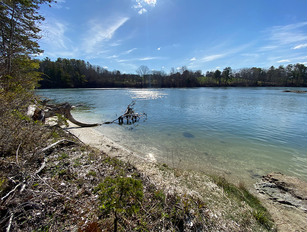
Looking across the upper Damariscotta River at Round Top Farm from the Glidden Midden
If you visit, we recommend you enjoy the trail when it’s not high tide (high tide in Great Salt Bay is about two hours later than in downtown Damariscotta/Newcastle.) It’s also worthwhile to note the sheep tunnel allowing visitors to pass safely under Route 1 is approximately 5′ in diameter, so most adults will need to crouch to get through it. All of which just adds to the adventure, right?